Brockway Mountain Drive and Lake Superior · · PAGE 22.
July 25, 2019: Brockway Mountain
Drive is the first left turn from Michigan route 26 just west of US 41 turning
south from Copper Harbor. There are two switch back curves to get to the
Copper Harbor Overlook where you can get good views of the town and the
harbor. The elevation here is about 120 feet above the middle of Copper
Harbor and about three-quarters of a mile from route 26.
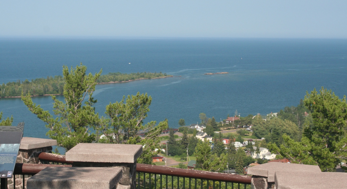
This wide shot reveals most of the harbor with the Lake Superior horizon
not showing anything of Canadian shores beyond.
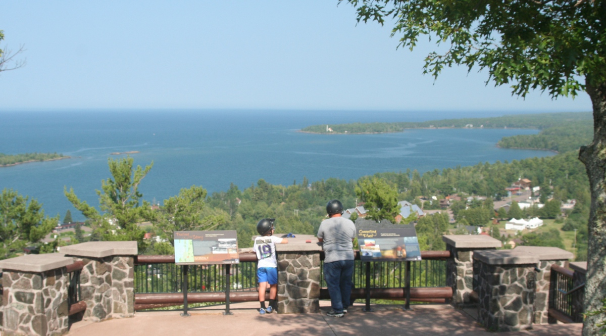
I got up along the rail and limited my view to show the main part of town
including the restaurant where we had lunch and learned about this overlook and
another one several miles south of here up on top of the mountain.
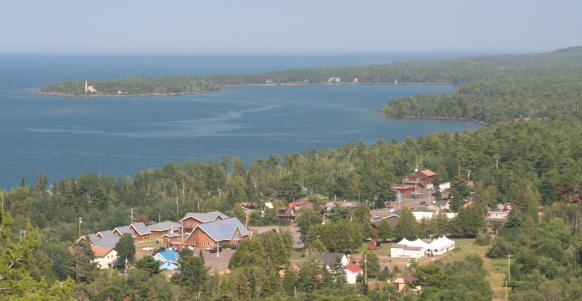
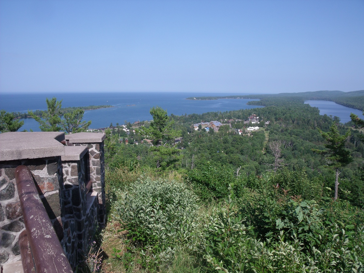
One more snapshot shows the part of town closer to the overlook.
Here is the first image taken by Linda at this overlook. Her wider
angle of view is plain to see.
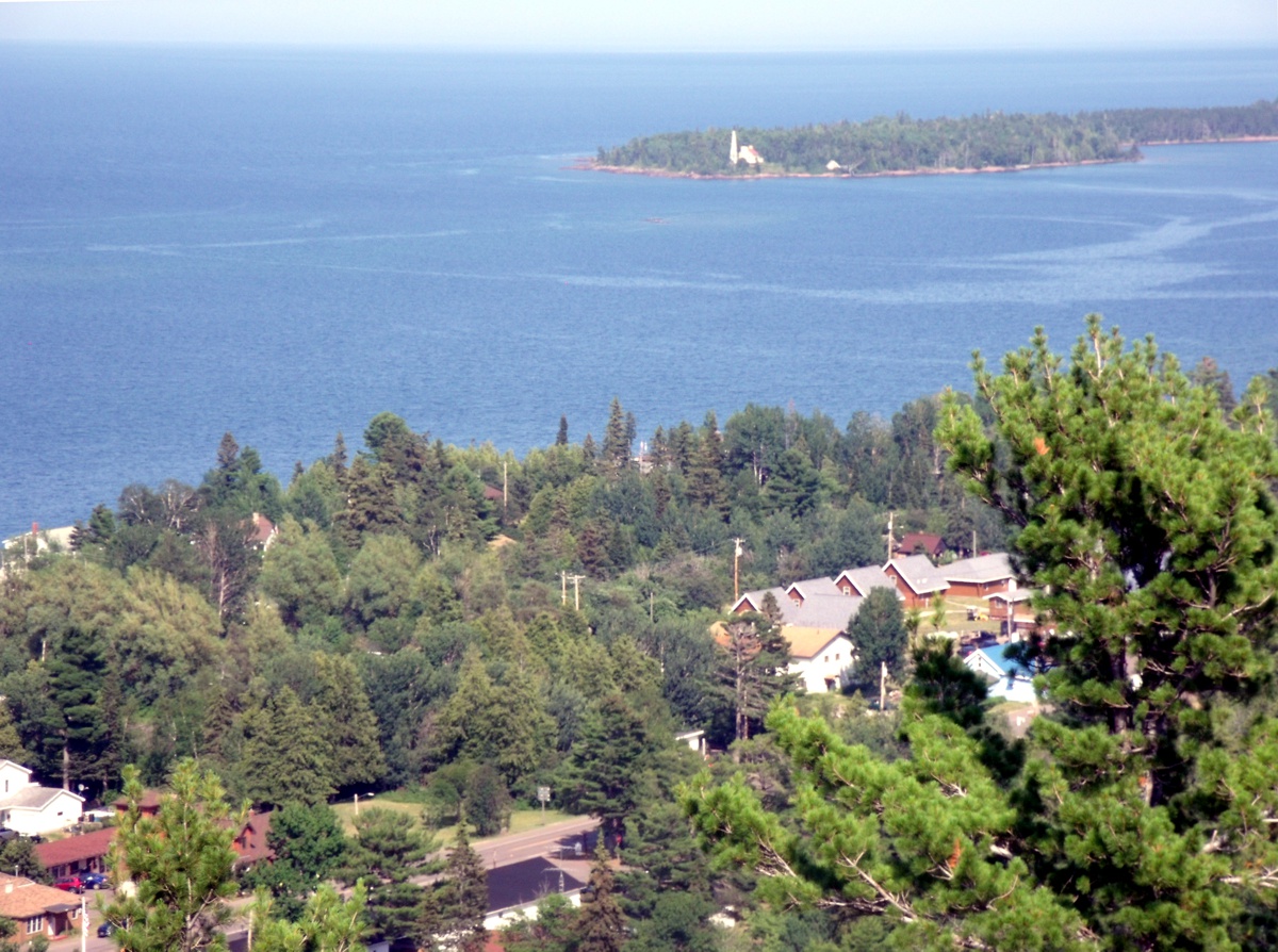
She used the telephoto zoom on her camera to get this picture of the light
house looking north across the harbor.
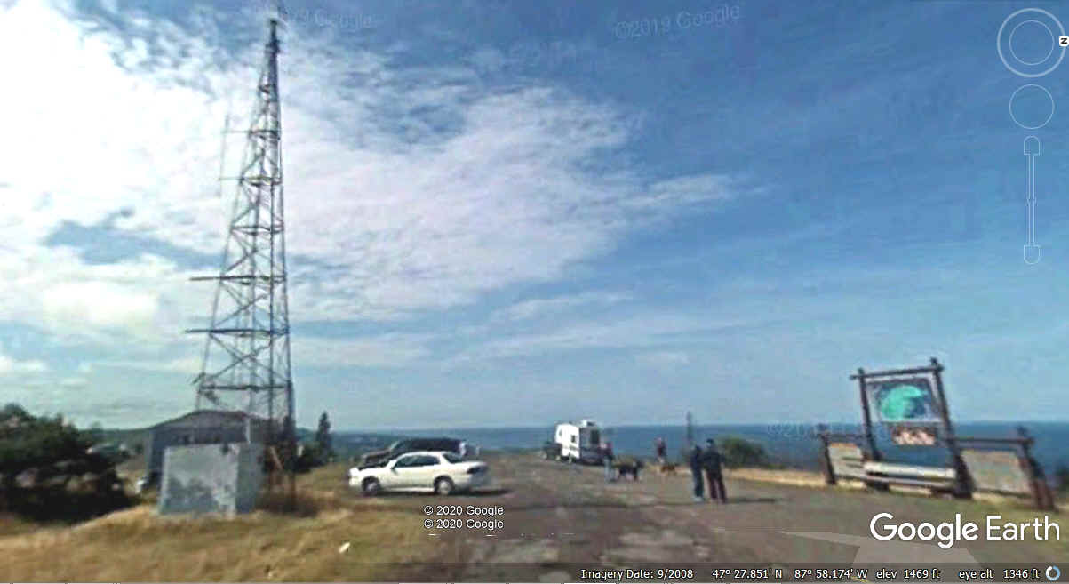
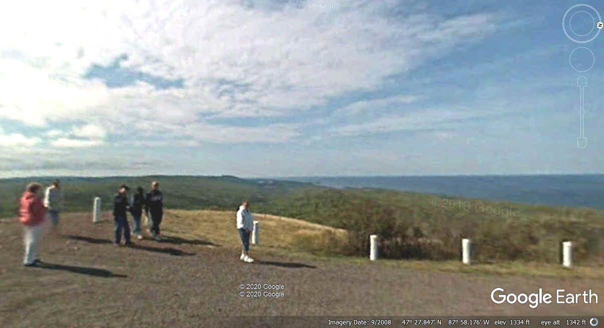
The next overlook at the high point on the mountain is 7.4 miles west
from route 26 on Brockway Mountain Drive. I was happy to find the Google
Earth camera vehicle drove the length of Brockway Mountain Drive. This
image depicts the location where we captured our photos below this one.
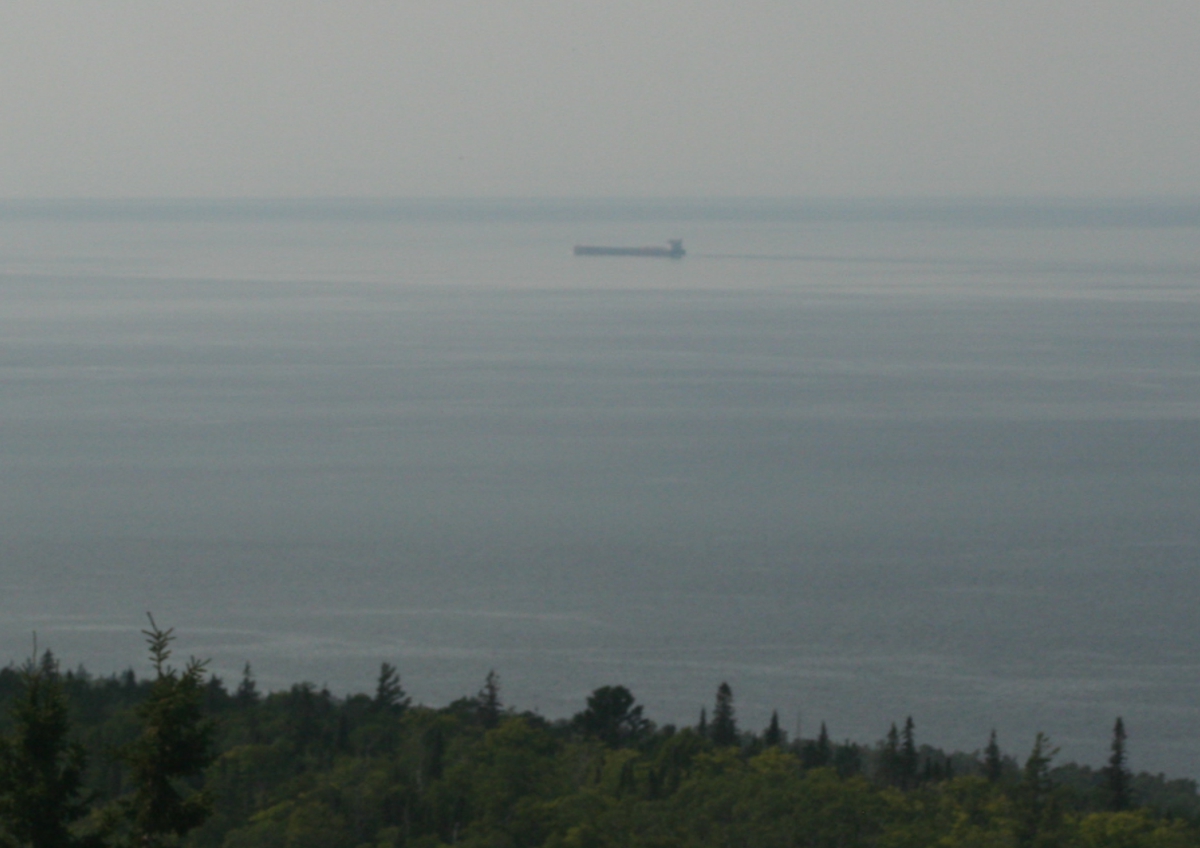
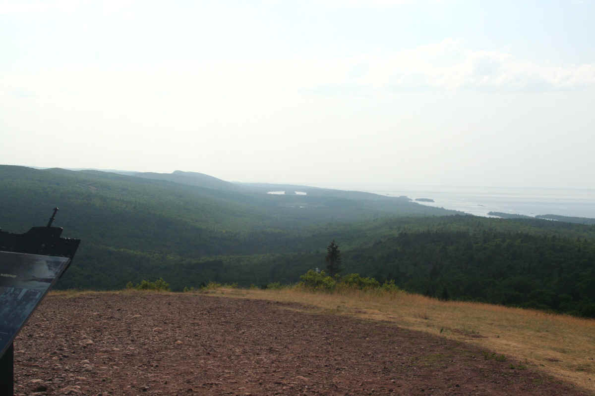
Yes, there is a ship out there in the haze.
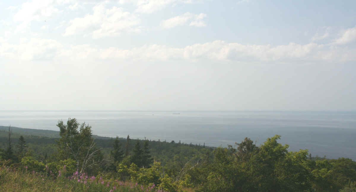
My tripod and telephoto lens come to the rescue again. The ship is
headed west toward Duluth, Minnesota.
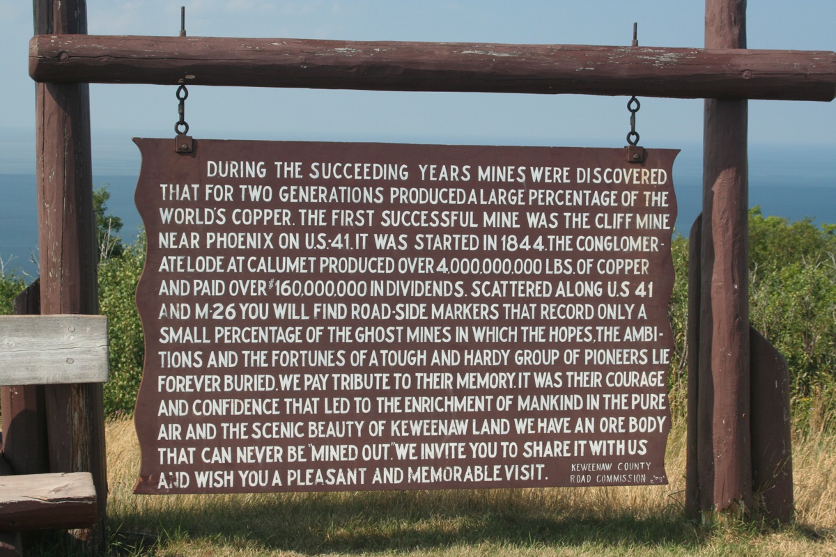
Here are the signs seen in the Google Earth image above. On that day
in September 2008, the wind was blowing up here a bit. The same signs in
my photo from July 2019 are hanging straight down since there is virtually no
breeze at all on this summer day. Yes, it was warm.
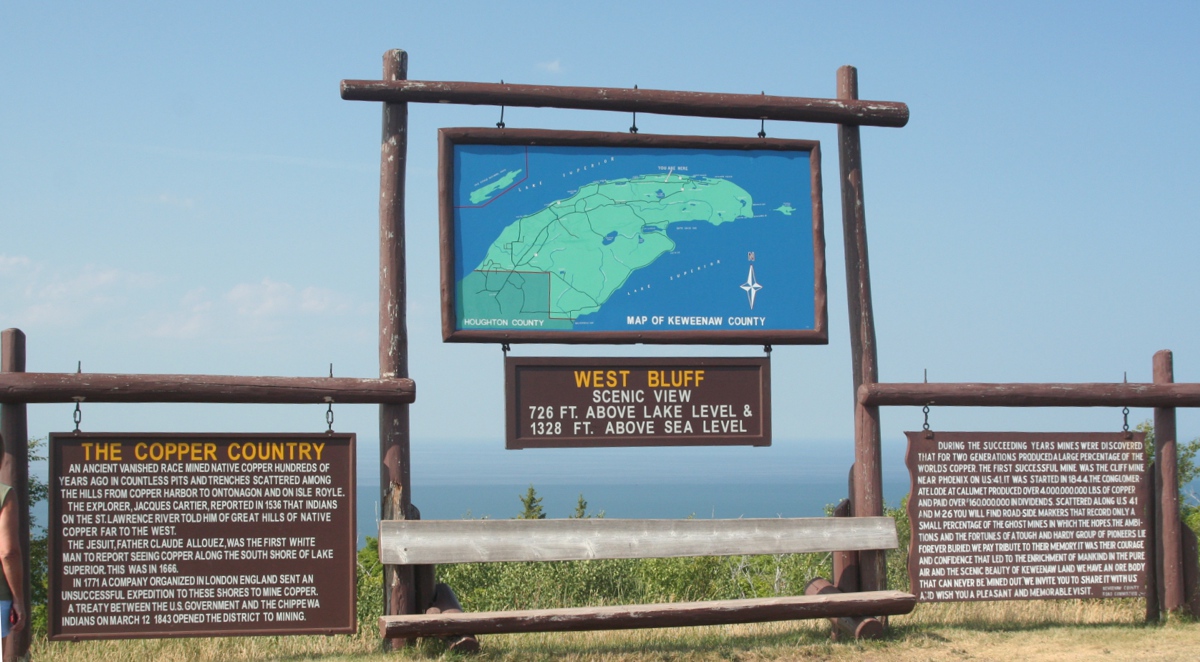
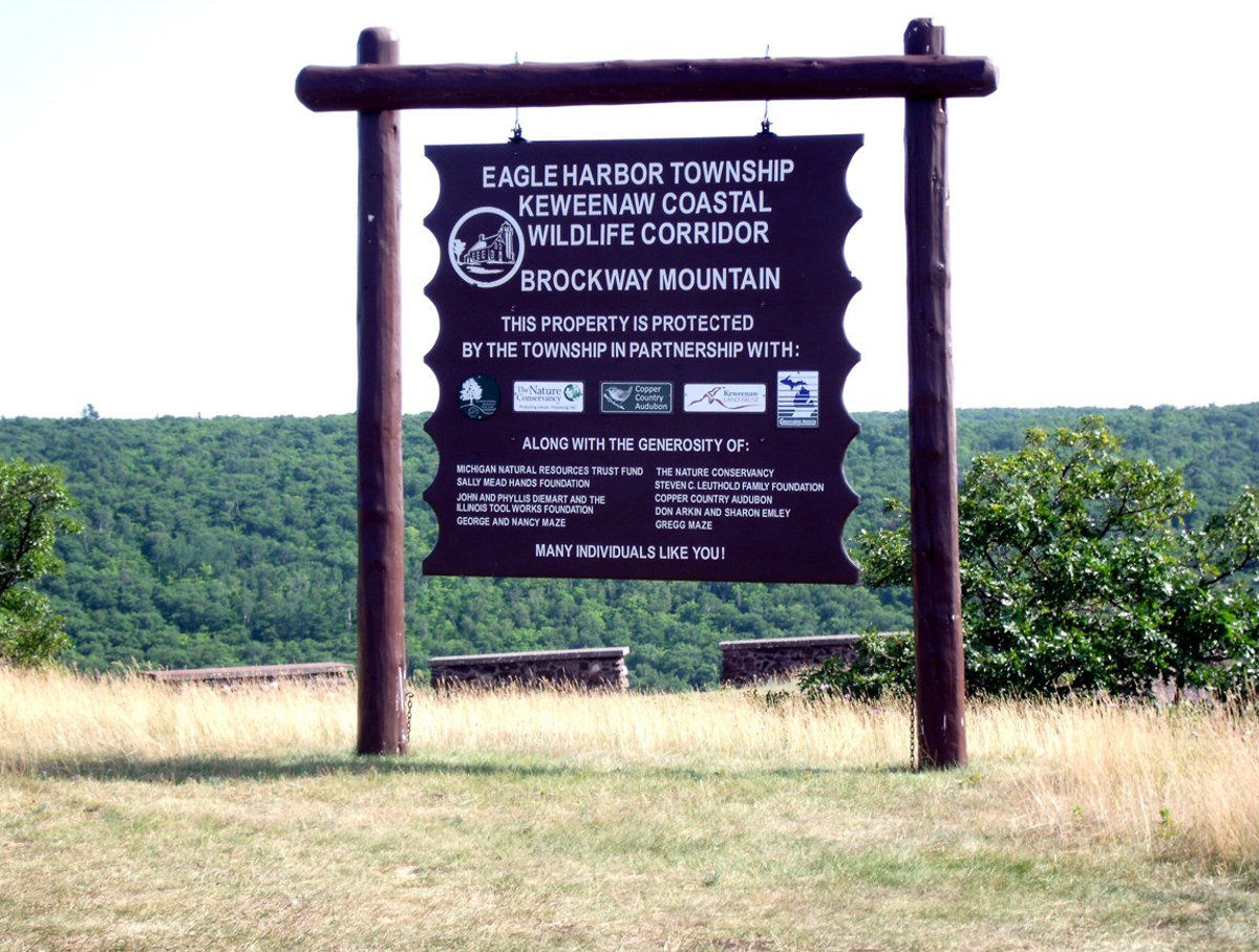
Can you imagine how many tourists have taken photos of these signs?
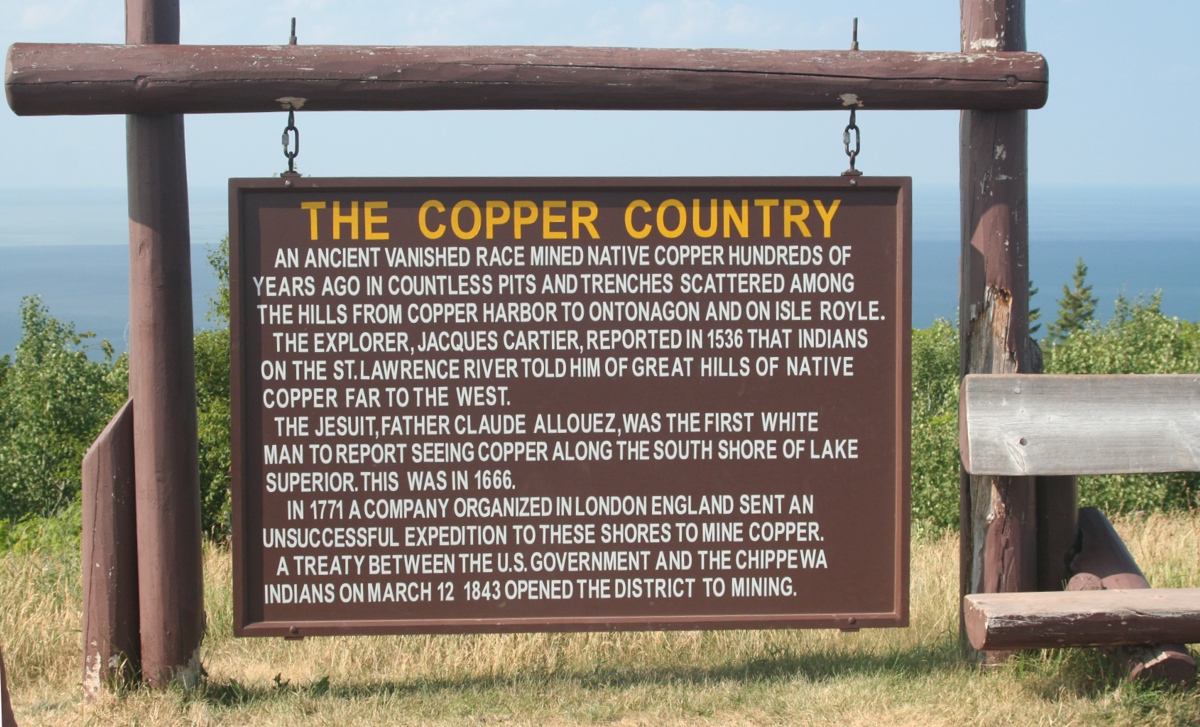
From the first sign giving the record snowfall in this county, the
beginning of US 41, and now these historical signs, the Keweenaw County Road
Commission has made their mark on the memories of tourists over the years.
I was please to see the fine print signature from the road commission.
They do more than snow removal in the colder months of the year.
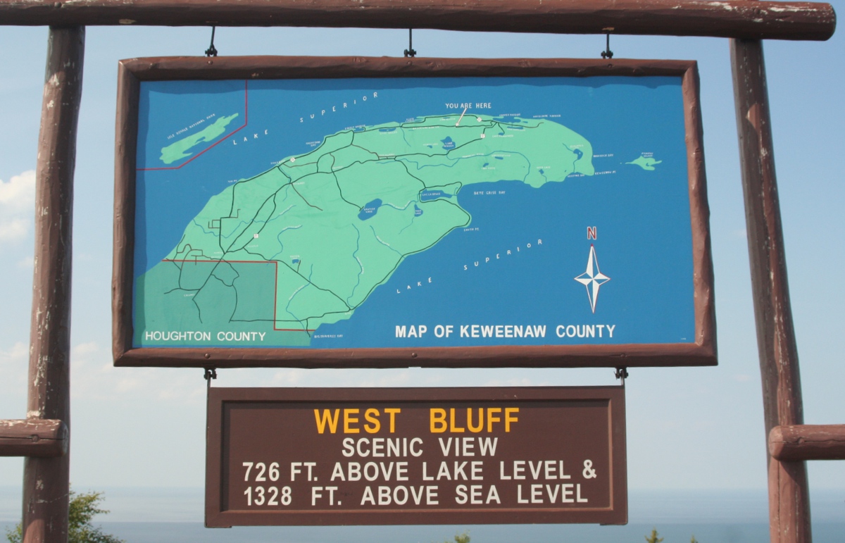
I was just thinking about this county map and finally noticed the
"YOU ARE HERE" words and the arrow pointing to this vantage
point. They did not mention the elevation of the water in Lake Superior is
just over 601 feet above sea level.
This second Google Earth image looks west from Brockway Mountain overlook.
Time of day makes all the difference in the quality of a photo. The Google Earth image above was early in the day, while my
photo below was in the afternoon.
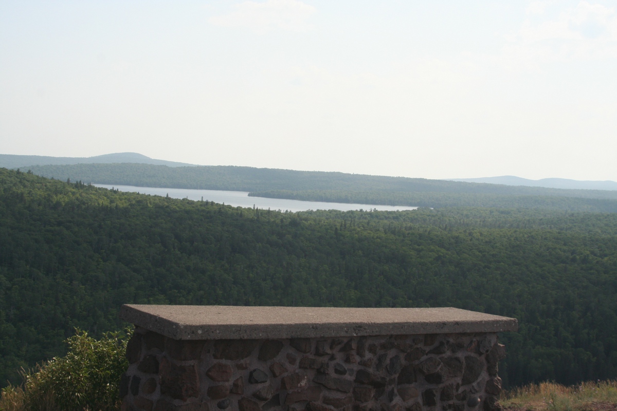
The image below is Lake Medora we passed on the way up US 41 to Copper
Harbor. That mountain in the distance is a ski resort I flew over in my
airplane in 2005.
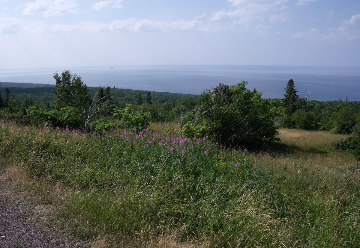
Linda took this wide angle view looking northwest from the top of the
mountain.
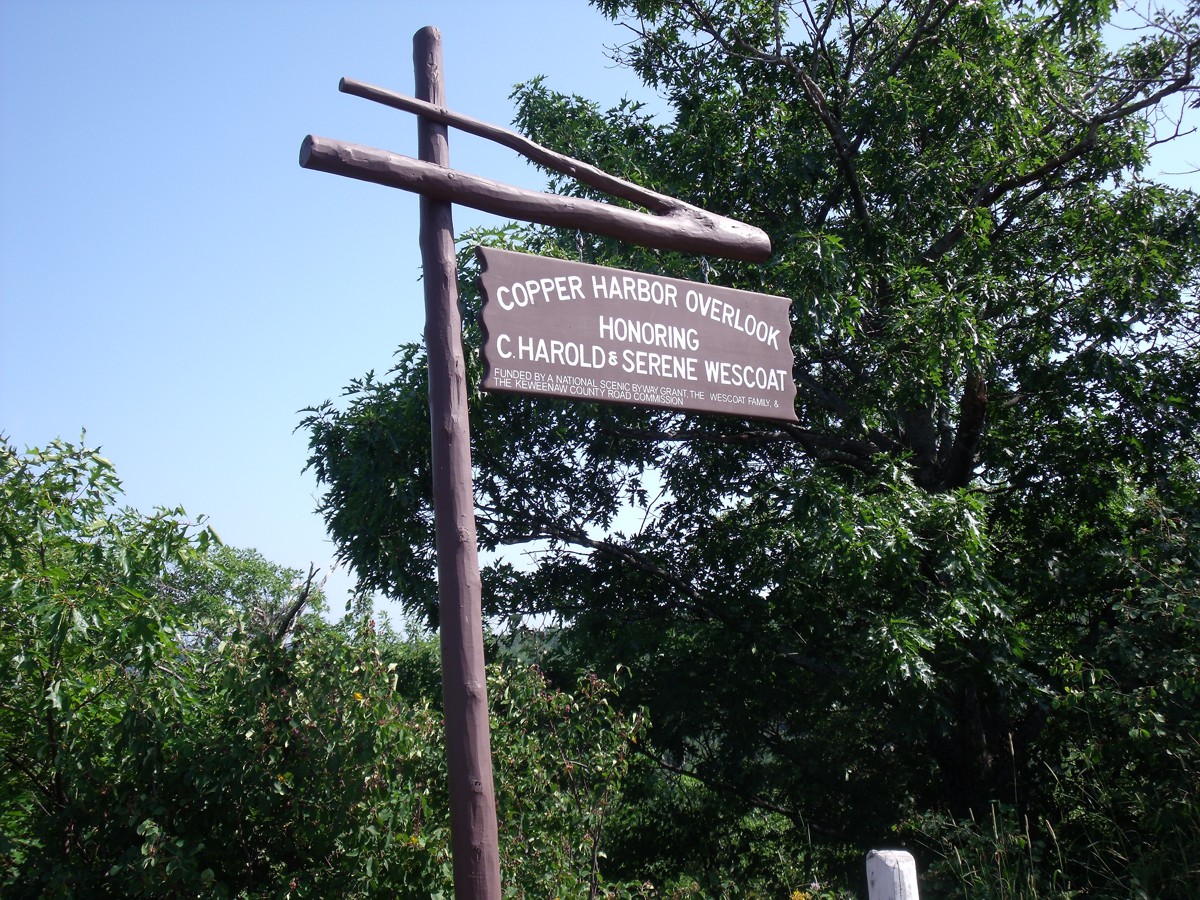
Linda took this photo of a sign I did not notice in the observation area.