October/November 2021 Vacation Day 5 · · PAGE 9.
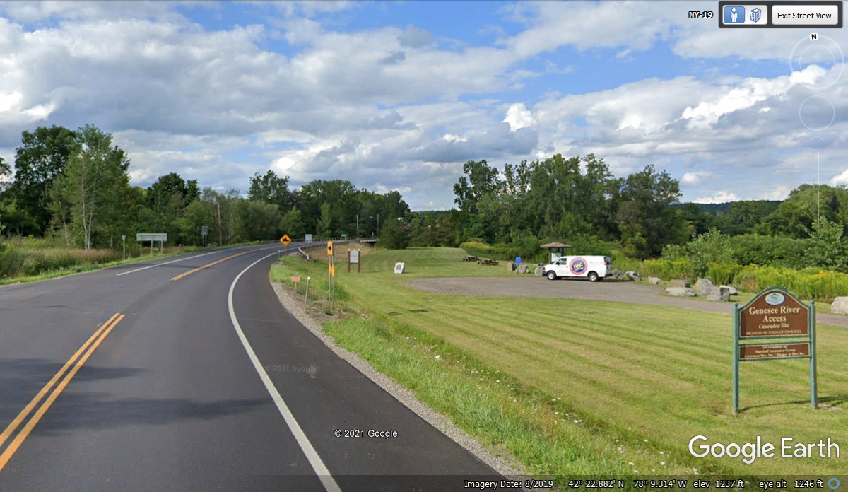
October 30 2021: We stopped at this
river access location north of the little town of Belfast, New York at 2:34 PM to give Chase a rest stop,
to refill his water bowl, and
put some kibble in the other side of the dual pet bowl. This pit stop was
complete at 2:43 PM when we headed north again.

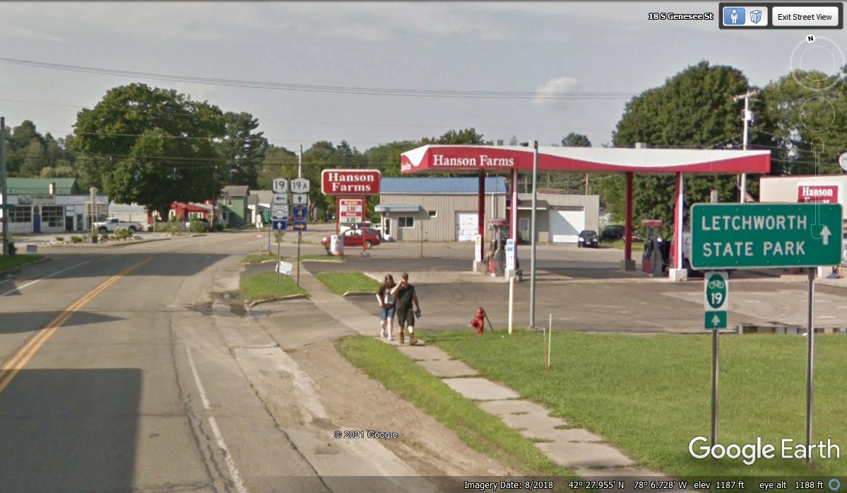
When you are entering the town of Fillmore, NY on state route 19, this
sign lets you know to take route 19A to get to Letchworth State Park about 8
miles north of here.
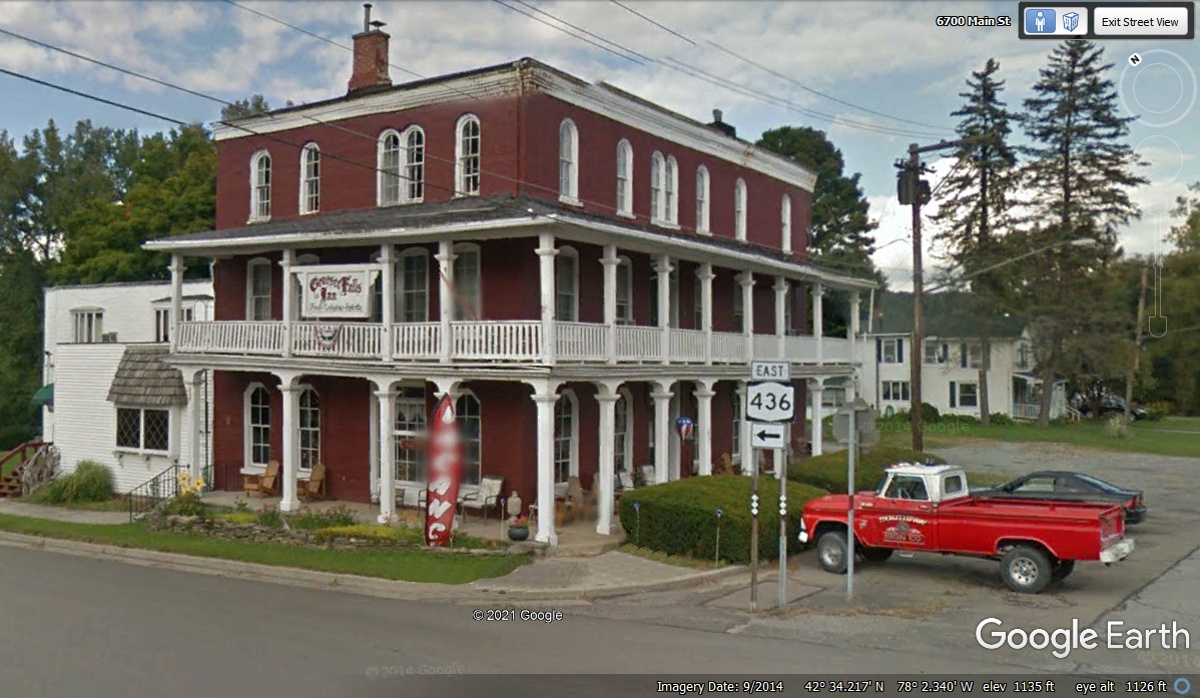
The Genesee Falls Inn is at the heart of Portageville, NY. It is the
village close to the entrance of Letchworth State Park. We drove down to
the inn to see it for real on October 30 at 3:07 PM before heading up to the
state park.
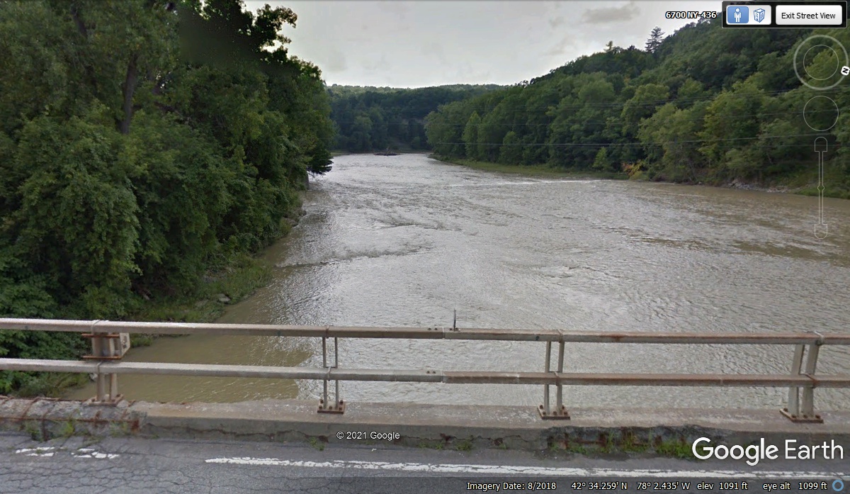
Taking a very short ride from the Inn on NY 436 takes you to a bridge across the Genesee
River above a shallow set of falls. The river enters Letchworth
State Park just around the bend in the river as seen from the bridge in this
image below.
Letchworth State Park - West Entrance
I called the state park a week before we began our journey and learned
their peak tourist season had ended. The gate to the park is wide open and
an entrance fee is not charged. This Google Earth image from June 2014 has
the sign out front to pay the entry fee. We entered the park at 3:10 PM.

I used Google Earth to look down on the main gate seen in the image
above. There is a BLUE dot there that when clicked revealed the image seen
below. When you drive through the park, you see the NEW high railroad
bridge shown here about half a mile from the West Gate entrance. The old
bridge on the right side of this image has been
removed as you will see when you drive through the state park.

This is the first information sign seen after entering from the west gate
of the state park. Mount Morris is at the other end of the state park.
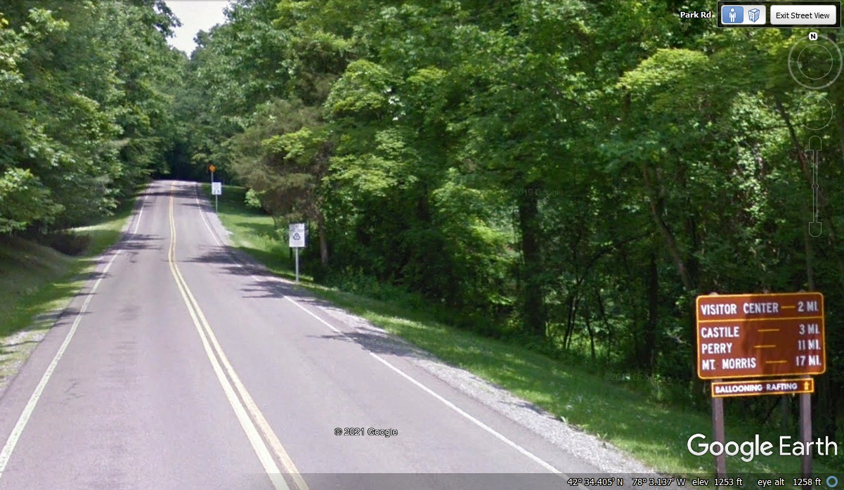
There is a parking area near a trail that goes in two directions.
One trail crosses the road and continues down toward the railroad bridge across
the Genesee River. There is another parking area around the corner beyond the
RR bridge. That second parking lot was where we parked the car at 3:15 PM
to take some photos of the bridge. This image from 2014 shows part of the old bridge.

My photo from October 30, 2021 shows the new bridge and the rock wall for safety
along the trail. We are getting plenty of colorful fall foliage on our
trip.
This second view under the new railroad bridge shows the river down below
at the first of the large waterfalls.
To easily get down to the falls, drive down the main road seen here.
We passed this way at 3:32 PM heading for the next water falls. We drove
past the road that went down to the upper and middle falls. Getting on
that road was a very sharp turn coming from the railroad bridge on the main
road.

We drove to the museum to turn around and come back to this point to get
access to the road going down to the Upper and Middle falls. The left turn
is mostly hidden until reaching the road itself.

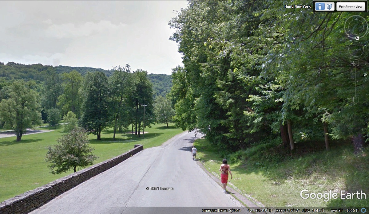
Google Earth drove their camera vehicle down from the main road to the picnic area and prime
viewing locations for the waterfalls. We went down this road also during
our visit.
This walkway goes to the viewing areas below the first high waterfall.
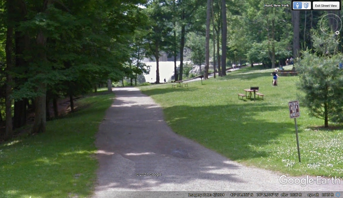
This view from river level is looking back toward the waterfall that is
under the bridge. This image below begins photos taken by me on October 30, 2021.
Linda is taking her photo of the waterfall while standing next to the
puddle by the best viewpoint. October 30, 2021.
I let her dog Chase join her when she stepped back from the puddle of
water. October 30, 2021.
I moved away from the prime viewpoint to another area along the walkway
adjacent to the Genesee River. This image reveals the details of the
railroad bridge and visitor viewpoints. October 30, 2021.
Linda is standing by the second waterfall showing the river in full flow on DAY 5.
October 30, 2021.
Same location as above on October 30, 2021.
I moved up away from the falls to get a higher perspective. October
30, 2021.
I took this image from a position off to the north side of the waterfall.
October
30, 2021.
This is the same waterfall seen from a few more feet down stream.
October 30, 2021.
This Google Earth image from June 2014 shows the same waterfall seen
above, but with a a much lower flow of water. They brought their back-pack
camera system to get these images and others you will find using Google Earth to
"walk the trails" adjacent to the river.

| RETURN TO 2021 VACATION MENU |