October/November 2021 Vacation Day 7 · · PAGE 22.
November 1, 2021: When we left
Chateaugay, NY we came into an area full of wind generators adding
power to the electric grid. We stopped on the side of the road where I got
out with my digital camera and used the 10x1 zoom feature to take photos.
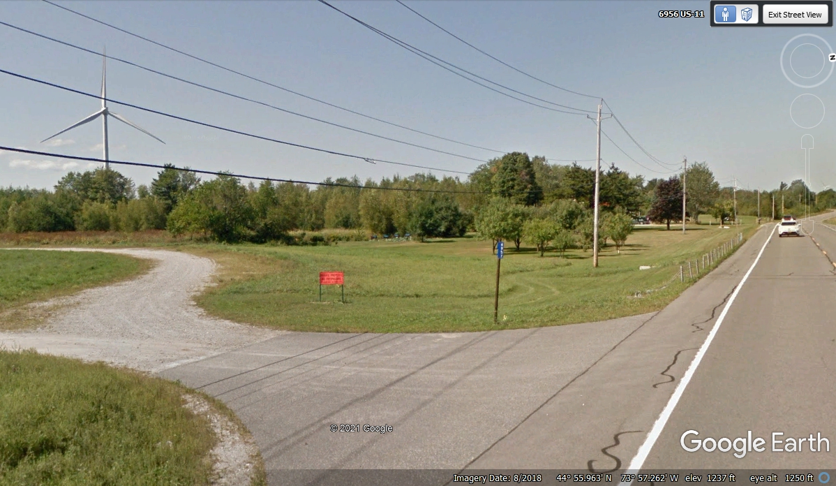
This Google Earth image shows where we parked on the south side of US 11 near
this driveway. The image is looking back toward town.

Those big blades turn slowly, but steady to generate plenty of electric power.
This wind power generator is located on the south side of US 11 as seen in the
image above. I walked closer and under the overhead cables since I was parked on
that side of the road. The cable in the upper right corner of this image
below has a "snowshoe" device for mounting a fiber optic cable to the
steel strand between power poles. The wind on this day was blowing from
the west. November 1, 2021.
Many of the leaves had fallen here when we arrived on November 1,
2021. The time stamp on the photo is 1:05 PM.
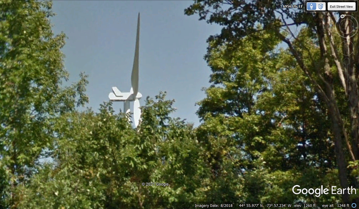
This GOOGLE EARTH image is from August 2018 with full foliage. I had
to move to the correct location with the Google Earth camera to get this shot
below to match the tree trunks in my photo above. The other difference in
the two photos is the wind is blowing in the opposite directions in the Google
Earth images like the one below.
I love this photo from the side of the road with my camera. This is about what you can see driving down a long 2-lane highway.
November 1,
2021. My camera is hand-held just over FIVE FEET above the ground with
ZOOM at maximum 10x and picture stabilized option turned on. I stood behind the
fence to get back from the edge of the road.
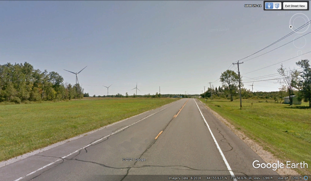
Here is the Google Earth version of my photo above. One issue is the
height of the camera ball above their vehicle at about 10 feet above ground. This image
below is from August 2018.
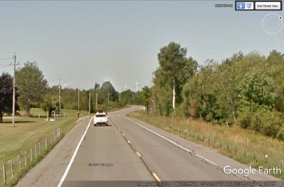
I wanted to take this photo when a car entered this area. This image
puts things in perspective. The camera is looking west back toward
Chateaugay.
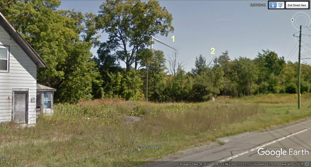
My photo looking across US 11 and beyond this house reveals two more
wind-powered turbine generators. With the leaves off the trees, these are
easy to see and photograph. November 1, 2021.
This is the Google Earth image from August 2018 to compare to my photo
above. With leaves on the trees, look closer or use the numbers to see the
wind machines.
I get the feeling we are leaving most of the wind machines behind as we
continue Southeast on US 11.

Every bit of high ground is home to more wind machines.
We have not seen an interstate highway since leaving I-81 at Watertown,
NY. Interstate 87 is coming up from NYC on the way to Canada via their
highway 15 going to Montreal.

About half a mile to the East from I-87 is US 9 that travels from the
Canadian border down to New York City and down to Delaware, ending in
Virginia. We are still heading East to the shores of Lake Champlain and US
2 going into Vermont. This intersection is on the south edge of the city
of Champlain, NY.
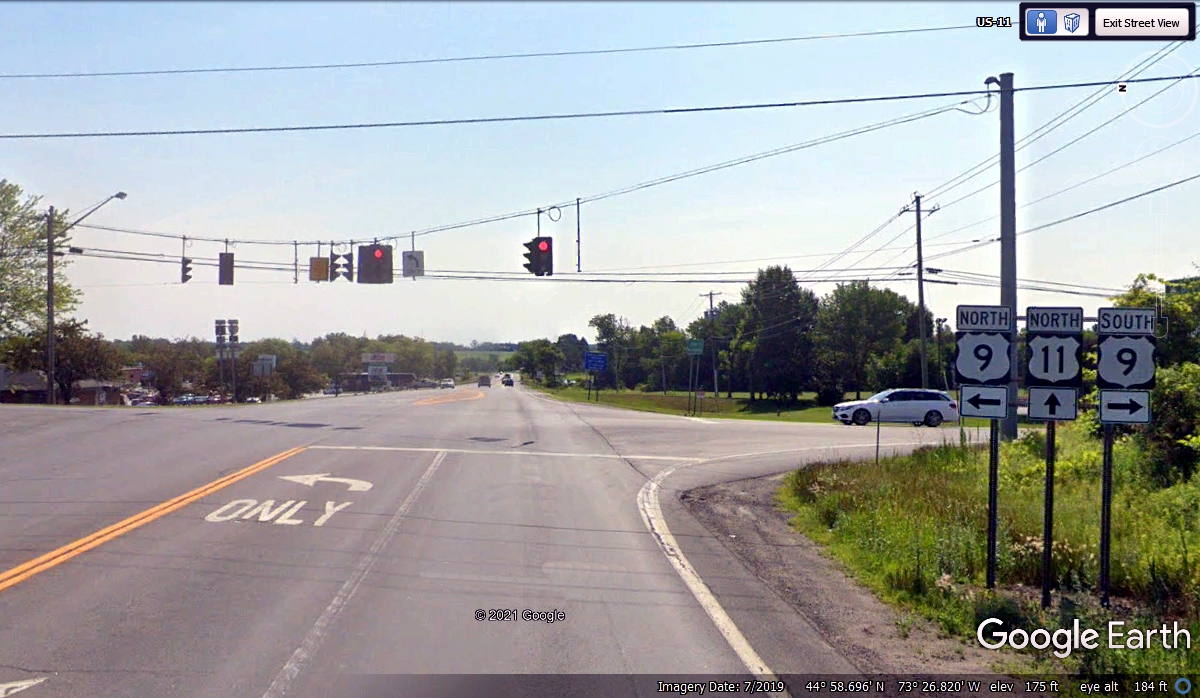
This next intersection is only about 2 miles from the border if you turn
LEFT here. I found something VERY RARE in Google Earth up that way.
We went straight through this intersection on US 11 when we passed this way on
November 1, 2021. I have some Google Earth images below from a ride along
the US/Canadian Border.
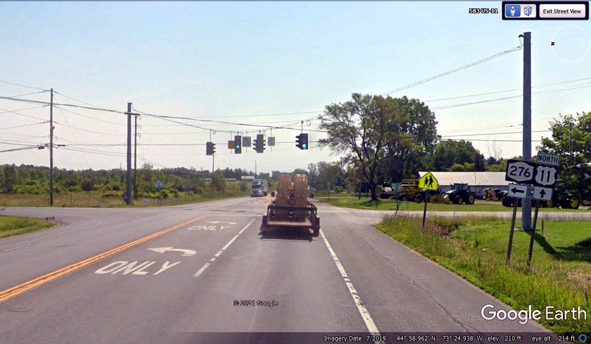
This is the border crossing where NY 276 comes two miles north from US 11,
then it turns East along the border. Here is that PEEK at Canada.

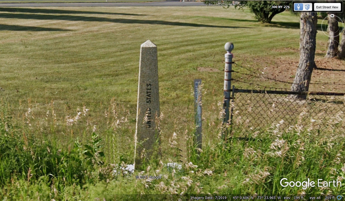
Here is a UNITED STATES INTERNATIONAL BORDER MARKER. The South face
of the obelisk has UNITED STATES engraved on it. The East face reads
INTERNATIONAL BOUNDARY. The Province of Quebec Canada in on the north side
of the marker, but that does not imply the north face is engraved unless Canada
did that.

This second border marker is across the street from the one seen above
near the sign for NY 276.
This section of NY route 276 follows the border for about 1.2 miles then
turns south down to Rouses Point, NY where it ends at US 11. The second
border marker on the left side of this image below in the grass is seen in the
image above. The other thing about this image is the large number of cars
and trucks parked on the US side of the border. Were these vehicles
confiscated from drug runners or other illegal activities? The image is
from July 2019.
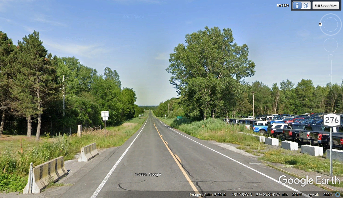
Here is an aerial image with a closer look at that impound lot. The
date of the image is September 19, 2021. I would presume a federal auction
has cleared most of the storage lot.

NO, THAT IS NOT A HELICOPTER you see here. This image of a dragon
fly has to be a fluke of timing from the Google Earth camera system at a point
about 0.56 miles East from the border patrol station where NY route 276 made a
right turn to follow the border.
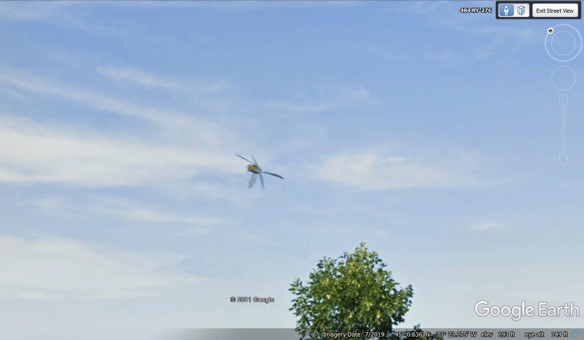
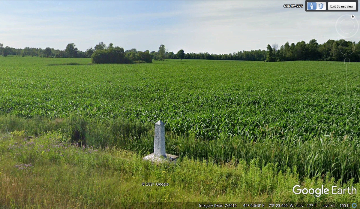
When I found the Dragon Fly, I had been looking at this farmer's field on
the Canadian side of the road. I found this mini-marker border
obelisk. I wonder how many of these are planted on the border with
Canada? This is the longest unguarded border in the world.
This is the big picture of the ride along the US/Canadian border that is
only 1.2 miles long before NY 276 turns south down to Rouses Point and ends at
the junction with US 11 North.
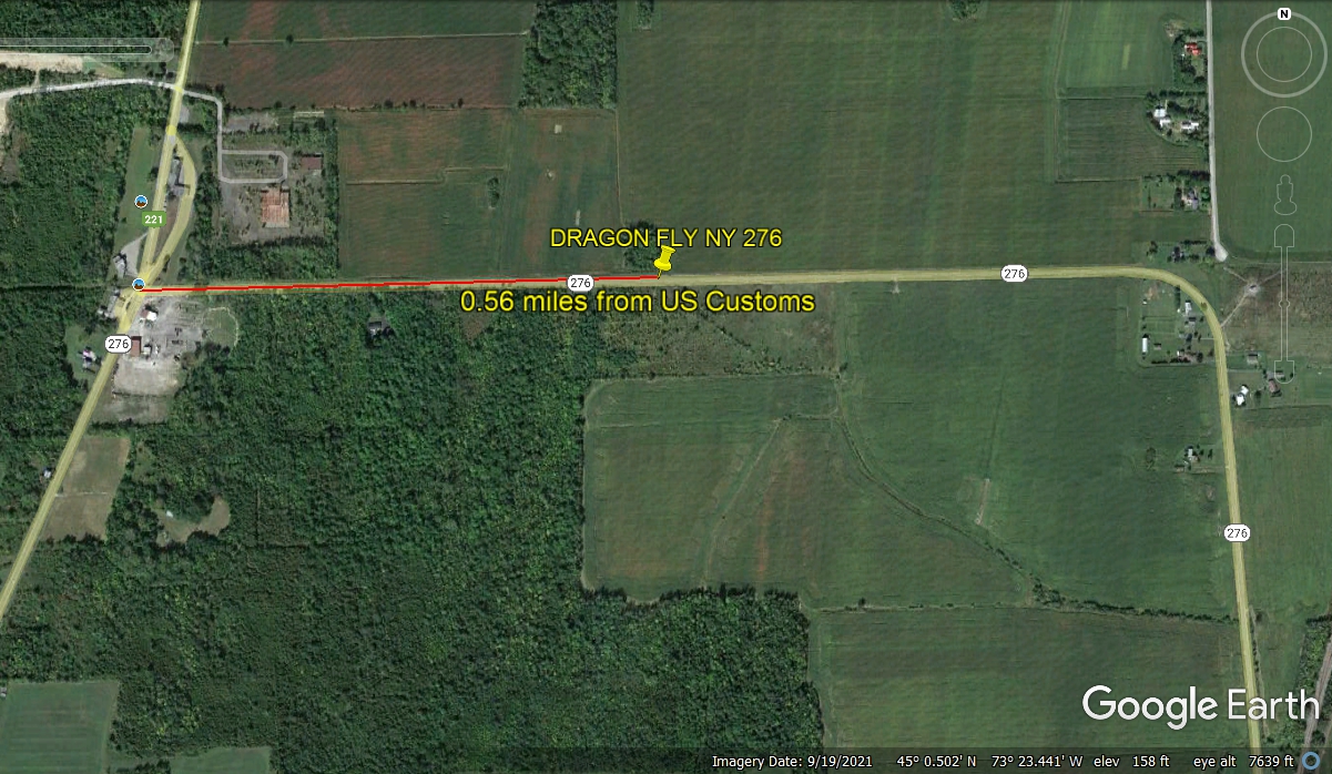
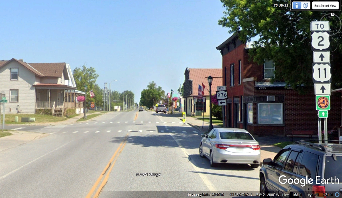
We passed this way going up to US 2 before heading into Vermont.
This is also the junction where NY route 276 ends after the border route seen in
the image above.
| RETURN TO 2021 VACATION MENU |