
October/November 2021 Vacation Day 7 · · PAGE 24.
November 1, 2021: We have crossed part
of Lake Champlain and are going south on US 2 East in Vermont. We are leaving
the third of three Champlain Islands going over to the mainland.

We have seen plenty of farmland and small towns along the way. Now
we will take an Interstate highway to get to our next fuel stop and lunch near
the largest town in Vermont.

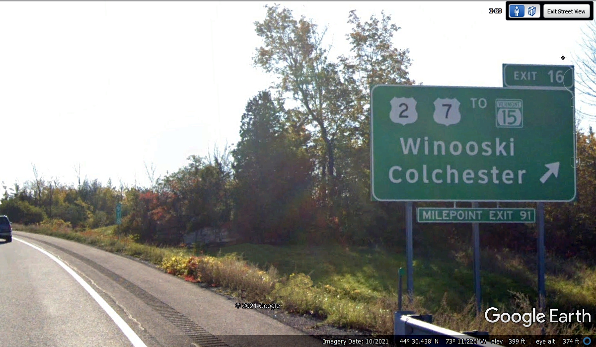
This is our exit for fuel and lunch today.
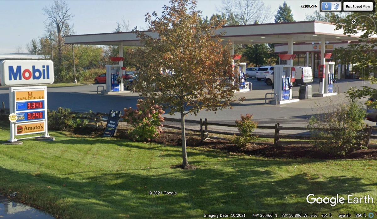
This Mobil station is located on US 2 on the north side of the I-89 exit
16 at mile point 91 just north of Burlington, Vermont. This is the next exit
south of where we got on I-89. I used my debit card to get the cash
price.
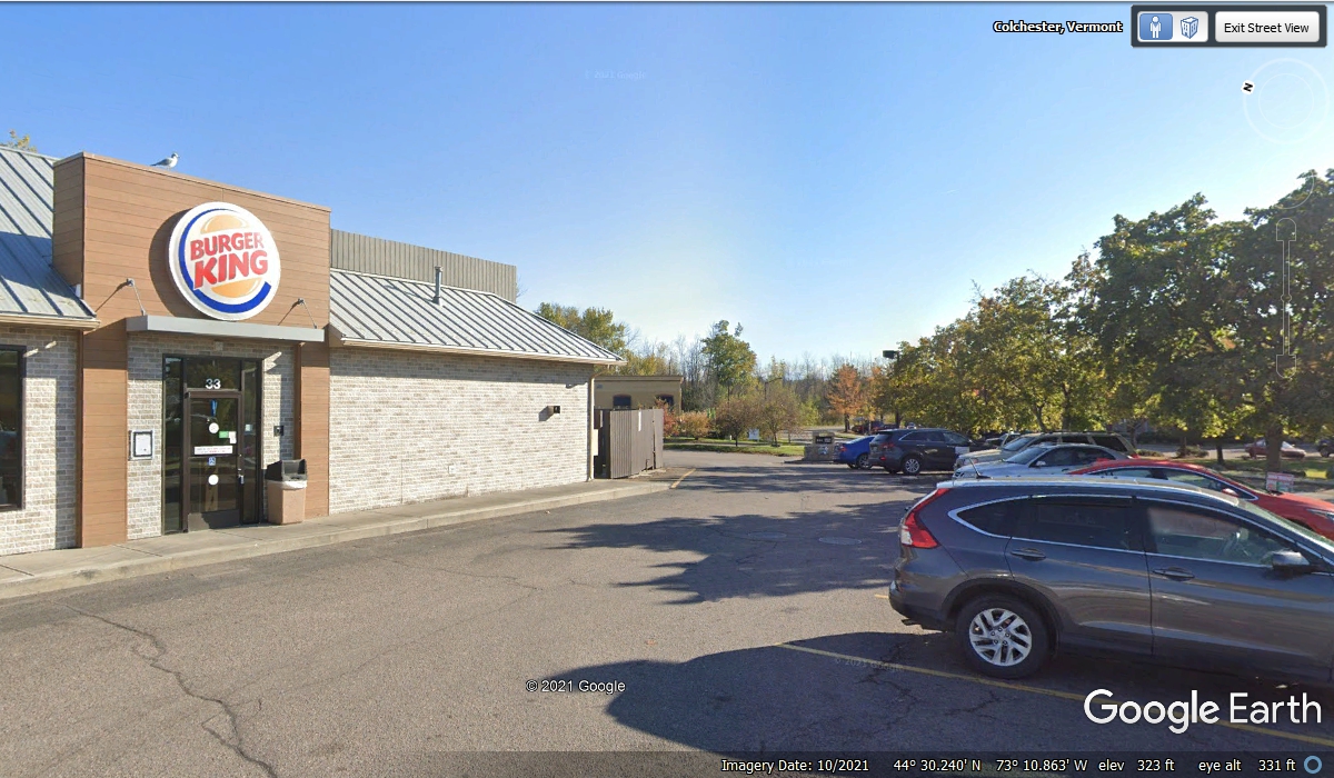
Just south of this exit is a Burger King fast food restaurant where we
always get take out since Linda's dog Chase is with us on this vacation.
This is also where we say goodbye to US 2 temporarily as we will be using I-89 going south
until we get to Montpelier, the state capital.
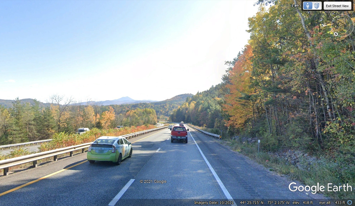
Leaving Burlington behind near Lake Champlain, I-89 turns into the
mountains on an Easterly then Southeasterly path. The date at the bottom
of this Google Earth image is close to when we passed this way in the real world
to see the fall colors in the trees. US 2, I-89, and a railroad are
following a river that has created this path through the mountains.
At this point, US 2 departs going through Montpelier and continues East
through the mountains, while I-89 goes South. We got off here to see some
local sights.

We got off the interstate and started East on US 2 hoping to see some of
the town of Montpelier. Chase was starting to whimper which means he needs
bladder relief. We turned off of US 2 on the other side of the bridge seen
here and crossed the river to this parking lot. It was empty on a Sunday
when we got here. We still had a long way to go to get to our hotel
tonight and got back on the road quickly. I created this web page on
December 20, 2021 and started looking around here using Google Earth to see what
we missed.
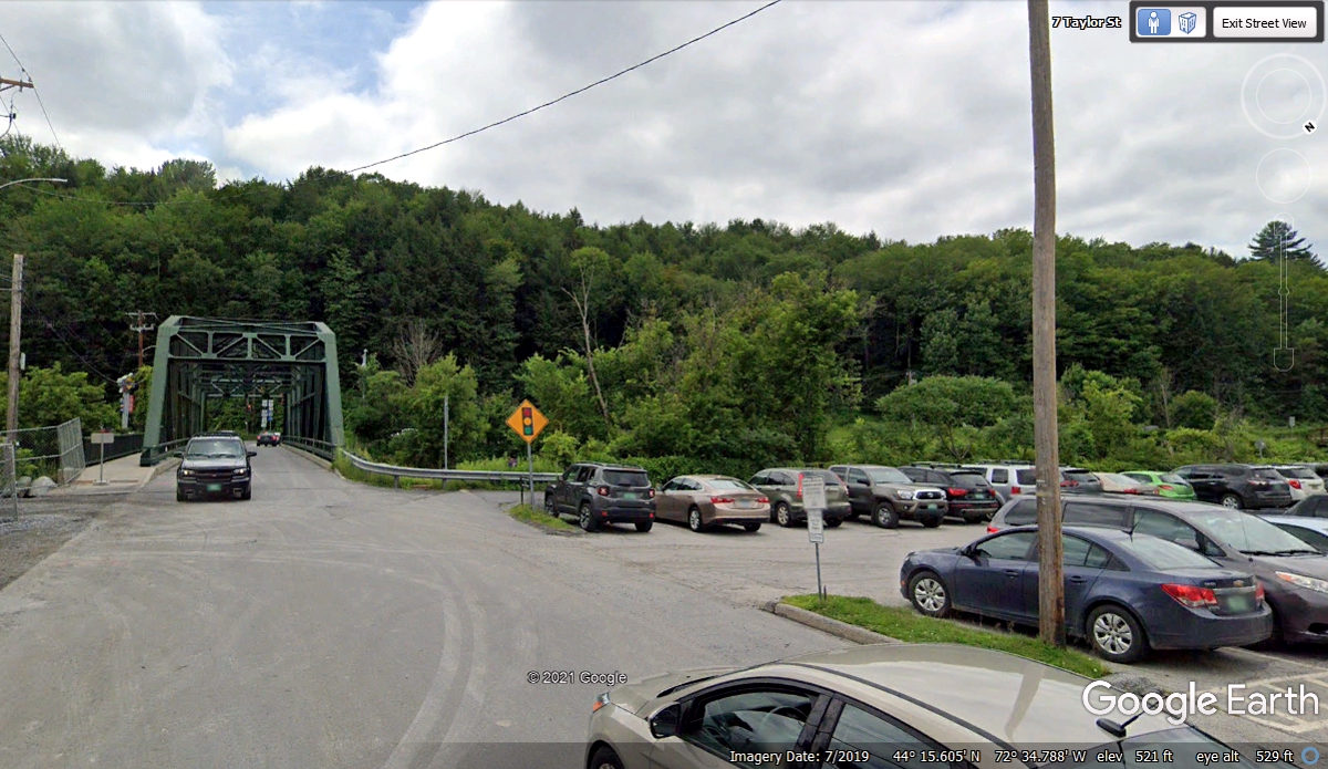
US 2 has a business route very close to the parking lot where we
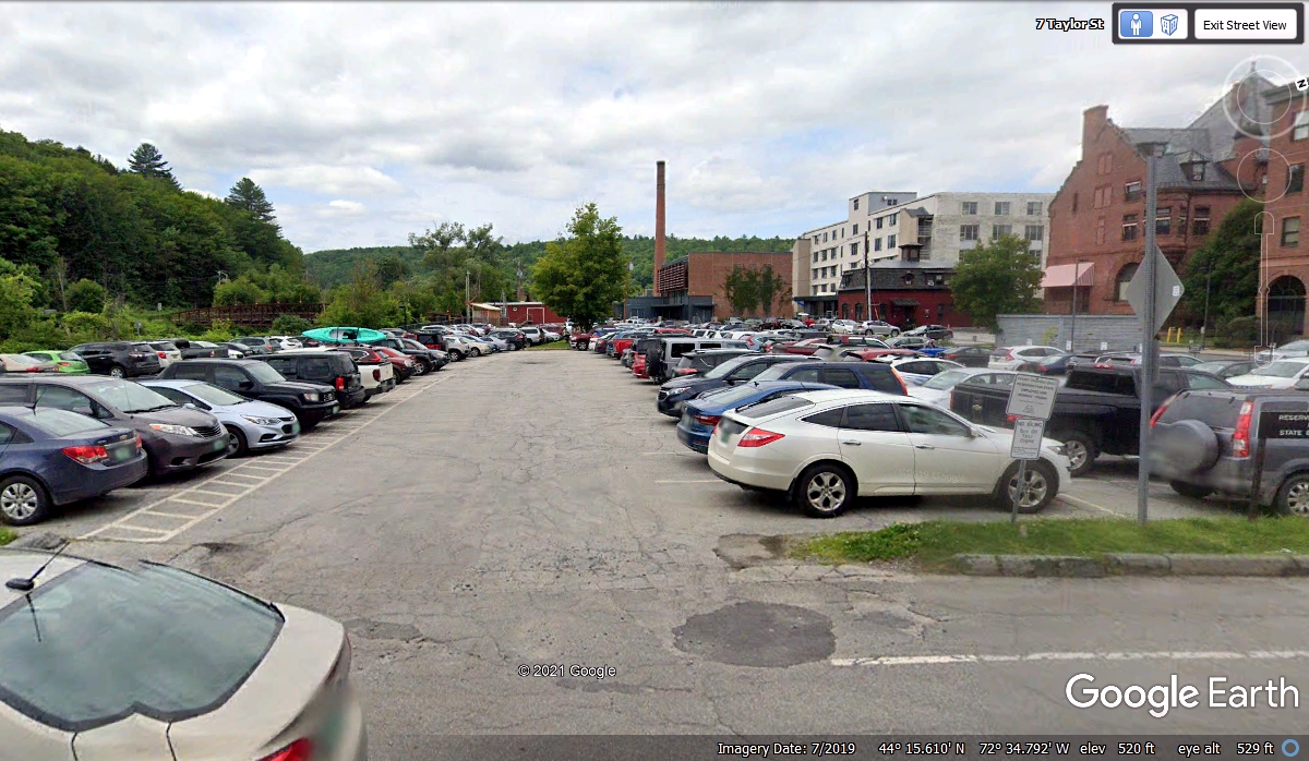
stopped. I drove the Google car north one block and found the Vermont
State Capitol was about two blocks from the parking lot seen in the images above
and below. That parking lot is very full of government employee cars on a
normal business day as seen below. All those buildings on the right side of this image
are facing the US 2 Business route and the state capitol across the street from the
white building seen in this image below. Google Earth estimates the ground
elevation in the parking lot at 520 feet above sea level. Look below the
word Google to see that elevation value.
This image below from Google Earth was exactly what I wanted to see on
November 1, 2021 as we passed this way.
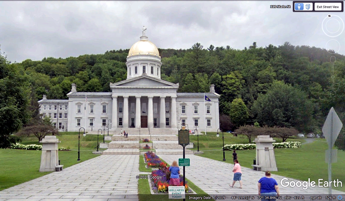
Here is an aerial view of the river basin and the major roads coming in and
leaving the valley on Interstate 89. Someone at Google created a 3D model
of the state capitol building seen in this image.

Leaving Montpelier heading south on I-89 reveals this mile marker as the
on ramp is merging with the southbound traffic. Elevation here is
estimated at 622 feet above sea level.

Just 6 miles ahead at mile marker 47, the elevation is 1,406 feet above
sea level for a rise of about 784 feet at the top of the next ridge going south
on I-89 approaching Exit 6.
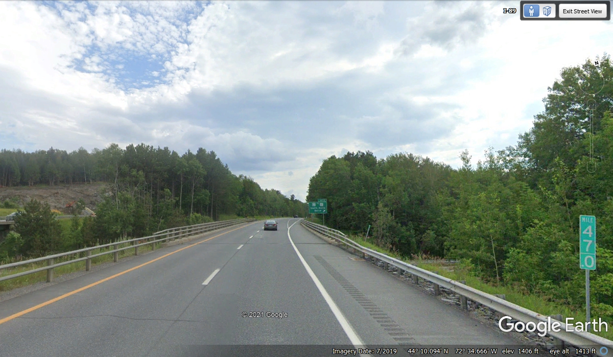
There is nothing to see up on this ridge except the trees on both sides of
the interstate highway. I observed this area looking down from an aerial
perspective to discover the land on the west side was lower by 100 feet
elevation and the land on the east side was somewhat higher. The placement
of the highway up on this ridge preserved much of the nearby flat farmlands.

I-89 has dropped a couple of hundred feet indicating it is headed to a
river valley ahead.

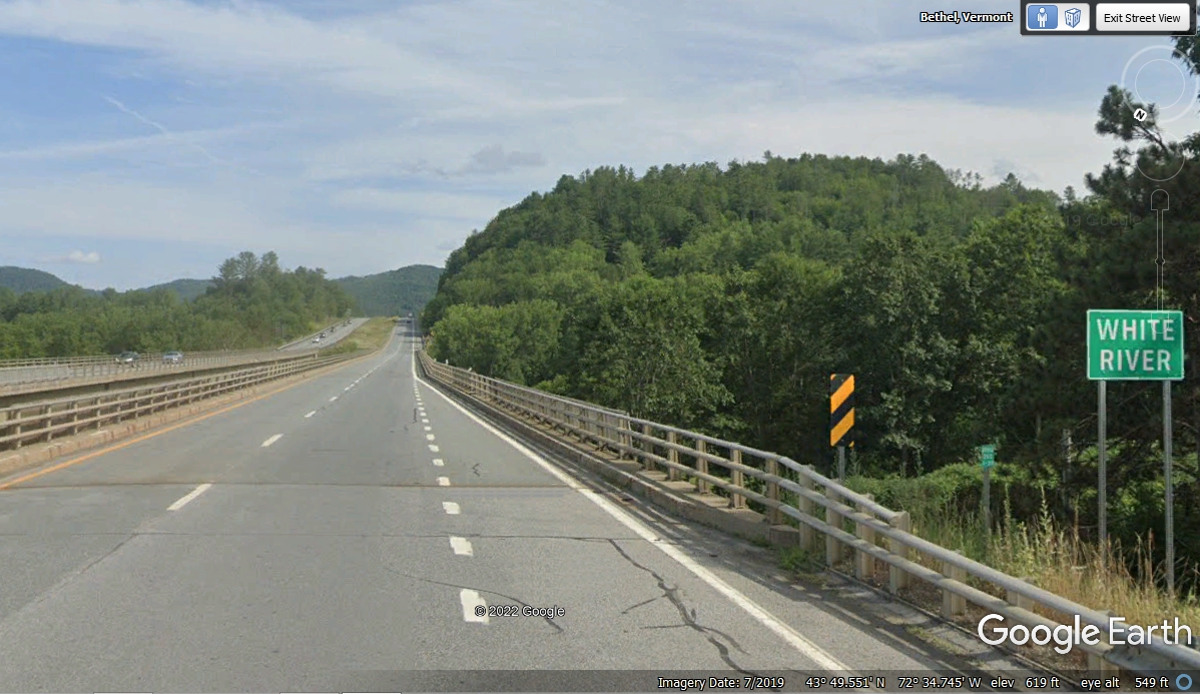
Here is the White River bridge where the ground elevation on the north
side of the bridge is down to 547 feet above sea level as indicated by Google at
the bottom of this image.
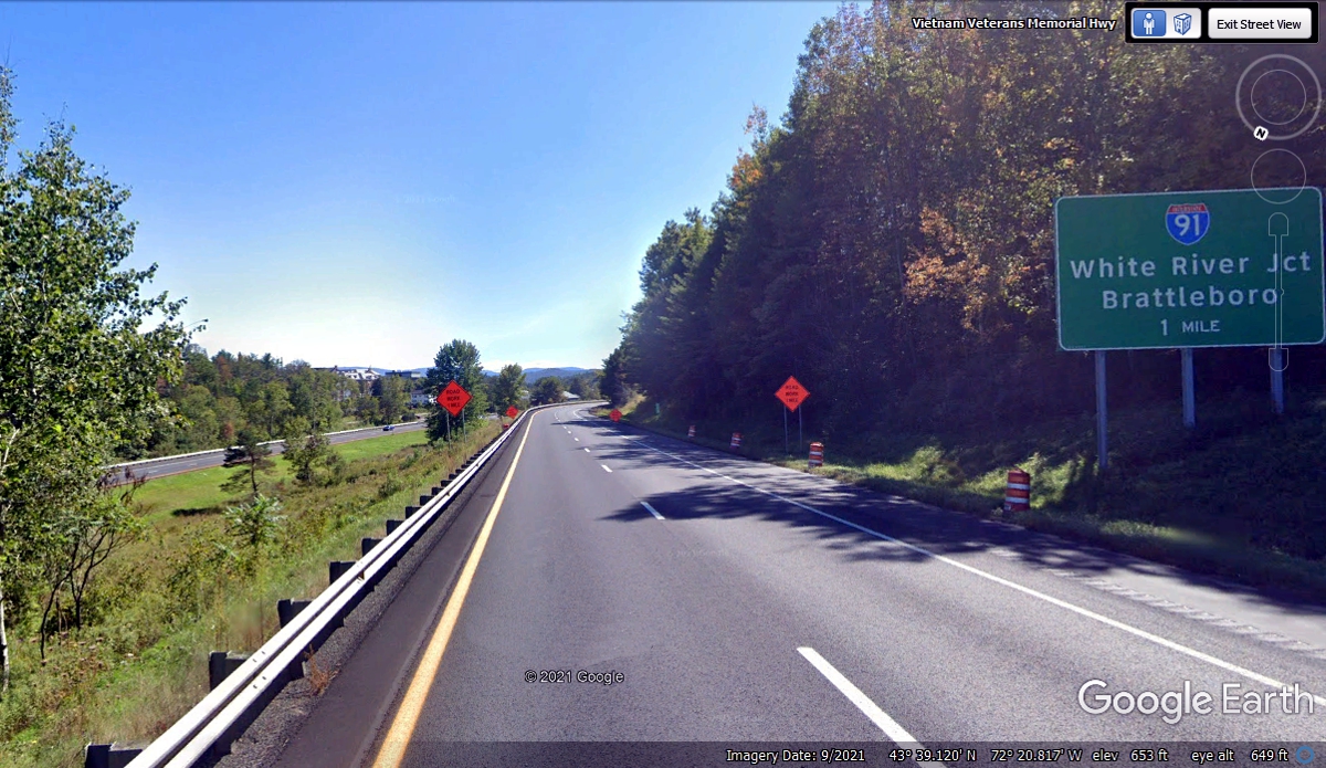
Interstate 91 will be crossing our path on I-89 where the river is the
state line between Vermont and New Hampshire. I-91 stays on the Vermont
side of the river all the way down to Massachusetts and continues down through
Connecticut until is finds I-95. Our ride is down I-89 until it ends at
I-93 south of Concord, the capitol of New Hampshire.
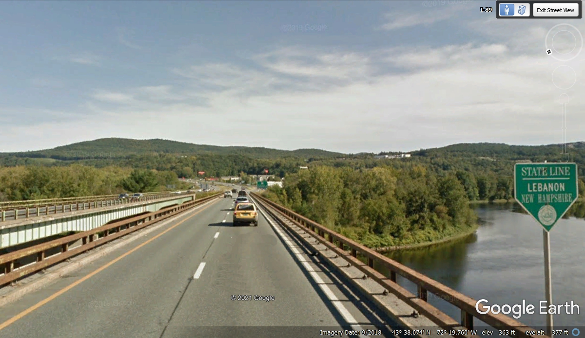
This is the last I-89 exit in Vermont as it passes I-91 and will cross the
river into New Hampshire ahead.

Vacation Day 7 Continues · · Welcome to New Hampshire
I missed seeing this state line sign when we passed this way on November
1, 2021 at 5:46 PM.
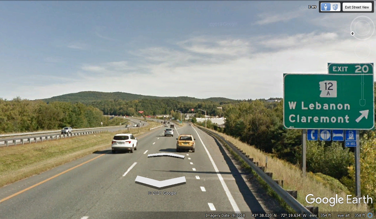
New Hampshire is still using EXIT numbers instead of MILE marker
numbers. I looked at a marker on the exit ramp to see it showing 60.6
miles to the end if I-89 where it meets I-93.
Sixty miles passed quickly as we continued south to the end of I-89 and
connect to I-93 for our next interstate highway segment going to Manchester,
NH. We have another page with 21 photos and images to get us to the next
change in our route going south again before turning East at Manchester,
NH. We passed by here at 6:38 PM.

| RETURN TO 2021 VACATION MENU |